


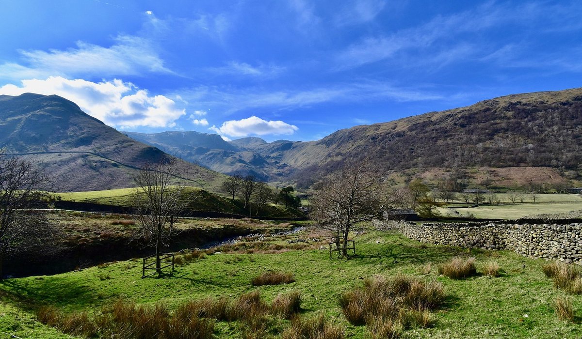
There is a particular kind of quiet that settles over the British uplands when you leave the crowds behind. But to find those empty corners – a sheltered pitch beside a tarn, a sheep track that threads between crags – you need to know exactly where you are. Grid references are the key. They turn a sprawling map into a precise language, letting you pinpoint a gate, a path junction or a wild camping spot with confidence. This guide explains the basics in plain English, so you can spend less time squinting at the map and more time soaking up the view.
Why grid references matter for quiet days out
When you are wild camping, the last thing you want is to arrive at a likely-looking flat spot only to find it is boggy, exposed or on private land. A six-figure grid reference gets you within 100 metres – close enough to judge a pitch or find a water source. The same goes for navigating in mist or darkness. Knowing that the path junction you need is at a specific set of numbers removes guesswork and the low-level anxiety that can spoil a day. It also helps in an emergency: if you need to call for help, a grid reference tells mountain rescue exactly where to find you.
Map scales: what the numbers mean
British hillwalking maps come in two common scales. A 1:50,000 map is the classic all-rounder. Here, 1 centimetre on the paper represents 500 metres on the ground, so a 1-kilometre grid square measures just 2 centimetres across. A 1:25,000 map shows twice the detail: 1 centimetre equals 250 metres, and each 1-kilometre square is 4 centimetres wide. For fine navigation – picking out a small crag or a faint path – the larger scale is easier. But many fell walkers happily use 1:50,000 for long days, as it covers more ground per sheet. Whichever you choose, the grid system works the same way.
Eastings and northings: the grid’s two directions
Every map is covered by a grid of squares. The vertical lines are called eastings because their numbers increase as you move east. The horizontal lines are northings, increasing as you go north. To give a grid reference, you always read the easting first, then the northing – “along the corridor, then up the stairs”. A four-figure reference like 123 456 identifies a single 1-kilometre square. The first two digits are the easting, the last two the northing. On a 1:50,000 map, that square is just 2 cm wide, so you are already narrowing things down considerably.
Four, six and eight figures: choosing your precision
Four figures are fine for a general area, but for hill navigation you will want more detail.
- Six-figure references (e.g. 123 456 becomes 123456) split each 1-kilometre square into tenths, giving a 100-metre square. This is the standard for walkers. It will land you at a specific gate, a path junction or the corner of a crag.
- Eight-figure references go further, splitting into 10-metre squares. Useful for pinpointing a tiny spring or a particular boulder, but rarely necessary unless you are navigating at night or in thick mist.
- Four-figure references are still handy for describing a broad area to a friend – “I’ll be somewhere in square 123 456” – but never rely on them for finding a wild camping pitch.
On a 1:25,000 map, a six-figure reference is even easier to estimate because the squares are larger on the page. That extra space makes a real difference when you are tired and the cloud is down.
Putting it into practice on the hill
To take a six-figure reference from the map, first find the square containing your feature. Note the two-digit easting of the left-hand line, then estimate how many tenths across the square your feature lies. Do the same with the northing from the bottom line. For example, a small gate might sit three-tenths of the way across and seven-tenths up from the corner of square 123 456 – so its reference is 0123456789? No, that is eight figures. For six figures, you would write 123 456 if the gate is in the middle, or adjust the last digit of each three-digit part. Actually, the standard six-figure format uses three digits for easting and three for northing: 123 456 means easting 123, northing 456. If your gate is a little further east and north, you might estimate 124 457. That is a 100-metre square. A roamer – the little scale on many compasses – makes this quick and accurate. For a wild camp, I often note a six-figure reference for a flat spot beside a stream, then another for a drystone wall corner as a backup. It turns a vague plan into a reliable one.
Building confidence with small exercises
You do not need to be on a summit to practise. On your next lowland walk, pick a gate, a footbridge or a distinctive crag and work out its six-figure reference. Check it against the map’s margin or a GPS if you carry one. Then try giving a reference to a friend and see if they can find the same spot. Do this a few times and the eastings-then-northings rhythm becomes second nature. Soon you will be able to glance at the map, murmur a set of numbers, and know exactly where to head – whether that is a quiet path junction high on a moor or a hidden ledge for your tent. That quiet competence is one of the deepest pleasures of time spent in the hills.


Leave a reply